LiDAR Surveys
What is LiDAR?
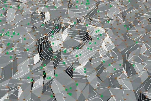
LiDAR or Light Detection and Ranging is a method used for gathering 3D information about the Earth’s surface
LiDAR scanners can be attached to aircraft so that data can be gathered over a large area
How LiDAR is Helping Our Efforts to Conserve Malleefowl
With the support of Riverina Local Land Services and the National Malleefowl Recovery Group, the NSWMRG has had 11,500 Ha of suitable Malleefowl habitat surveyed using LiDAR technology. The images taken by the scanner were then analysed to identify possible Malleefowl mounds.
The LiDAR surveys identified 31, 830 potential mounds which were classified into 4 categories based on how closely the point resembled a typical Malleefowl mound shape -
A total of 329 points were ground-truthed, with 155 confirmed to be Malleefowl mounds. These mounds are now included in our annual monitoring program.


